 SummitGPX Help Centre
Understanding Route Pages
Route pages provide runners with a central place to view route information, download files and access the latest official GPX. They are the runner-facing part of SummitGPX route hosting.
Before sharing a route page publicly, follow the Typical Organiser Workflow and use the GPX Health Check workflow to validate the GPX runners will download.
What is a Route Page?
A route page contains everything a runner needs to understand and navigate your route.
Depending on your plan and route configuration, a route page may include:
- Interactive route map
- Elevation profile
- Route statistics
- Checkpoints and aid stations
- GPX, KML, TCX, FIT, CSV, PDF or split GPX downloads where supported
- Route playback on Pro routes
- Route update notices
- QR code access
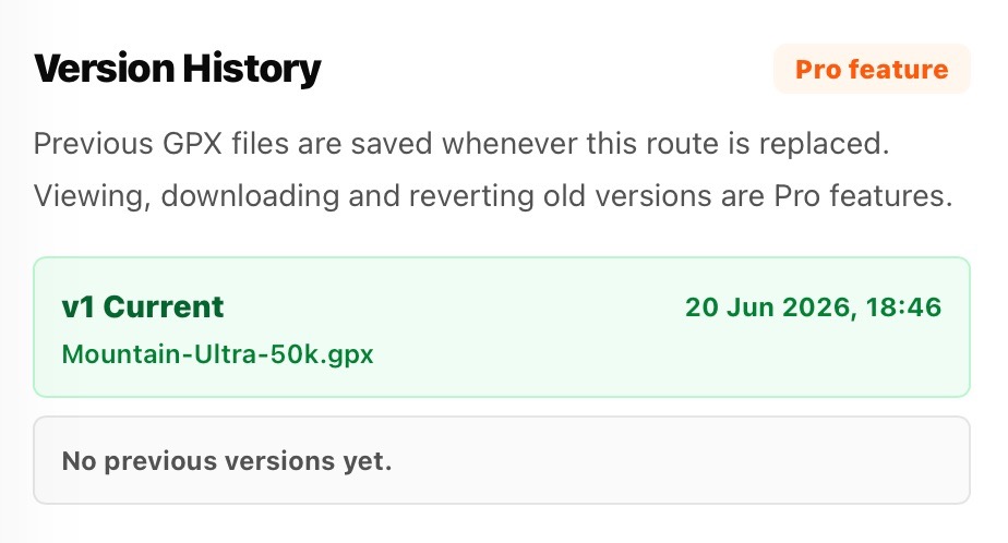
- Version information when enabled
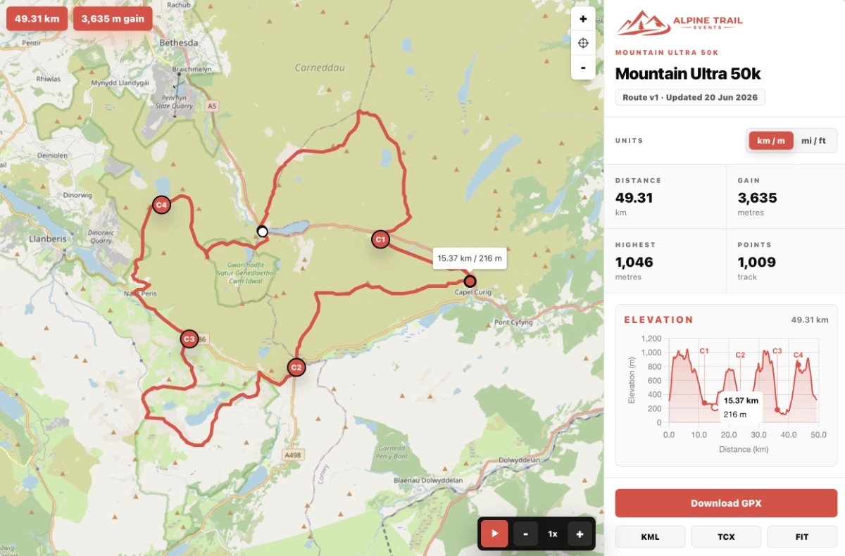
Interactive Route Map
The interactive map allows runners to:
- View the full route
- Zoom and pan around the course
- Switch map styles (where available)
- Identify start and finish separately, including on loop routes where both coordinates overlap
- Follow the route visually before race day
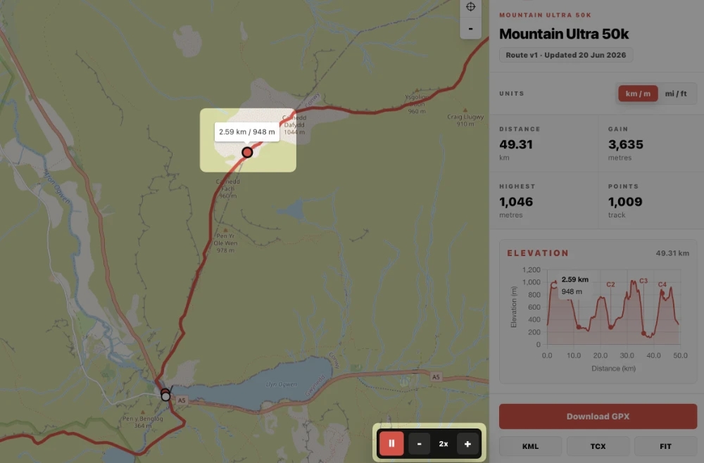
The map updates automatically when a route is edited, replaced or restored.
Elevation Profile
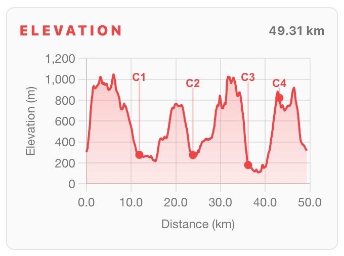
The elevation profile gives runners a visual overview of the course.
It displays:
- Climbs and descents
- Total ascent and descent
- Checkpoint locations (where configured)
- Interactive route tracking between the profile and map
Route Statistics
Route pages display key route information including:
- Distance
- Total ascent and descent
- Highest point
- Lowest point
- Track points
These statistics are calculated automatically when a route is processed.
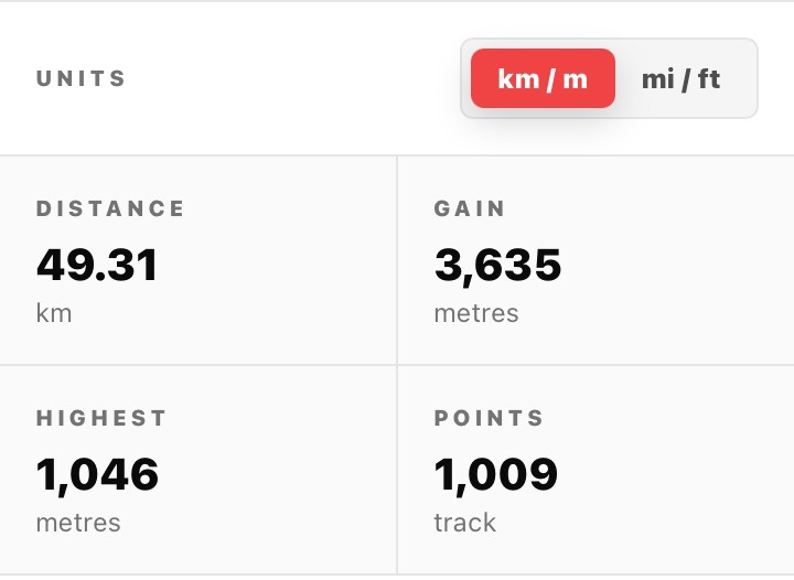
If the organiser has enabled runner unit selection, the route page shows separate Distance and Elevation controls. Runners can choose miles or kilometres independently from feet or metres. See Distance and Elevation Units.
The Organiser Route Management Page
The organiser-facing route page keeps the map visible beside collapsible management panels. Depending on the plan, panels include Route Data, Elevation, Ascent Breakdown, Checkpoints, Split GPX files, Route Updates, Share and Embed, Version History, Route Bounds and Danger Zone.
Select a panel heading to expand or collapse it. SummitGPX remembers the open panels for that route in the current browser. When you save a form, the relevant panel opens automatically so you can see the result.
Route Downloads
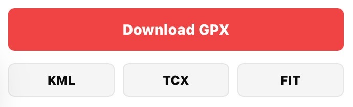
Runners can download the latest GPX file directly from the route page. Depending on plan and route setup, other formats may be available, including KML, TCX, FIT, Distance & Ascent Table PDF/CSV and split GPX section files. See Downloads and Exports.
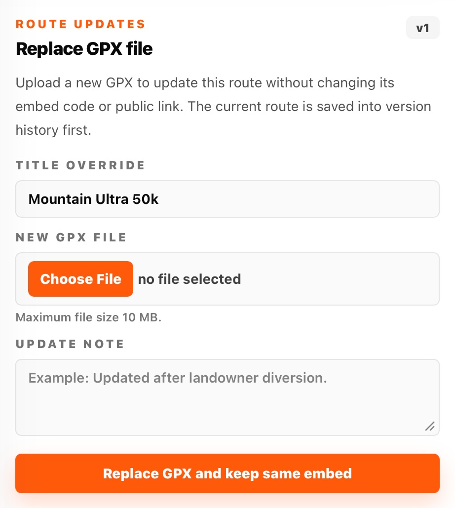
If you upload a newer version of the route, the download buttons automatically serve the latest processed route. This helps ensure runners always access the most up to date route.
Route Updates
When a route changes, SummitGPX can show the latest version information and organisers can send a route-specific update email to imported recipients.
This allows organisers to communicate route changes without sending new links or replacing QR codes. See Route Update Emails.
Examples include:
- Diversions
- Safety updates
- Checkpoint changes
- Revised GPX files
Sharing Route Pages
Each public route page has its own web address. Starter, Pro and Enterprise accounts can also keep routes private until they are ready to share.
You can share this link:
- On your event website
- In runner emails
- On social media
- Via QR codes
- In race packs
This gives runners a single source of route information before and during the event.
For more detail, see Public Route Pages, Route QR Codes, Route Embeds and the Typical Organiser Workflow.